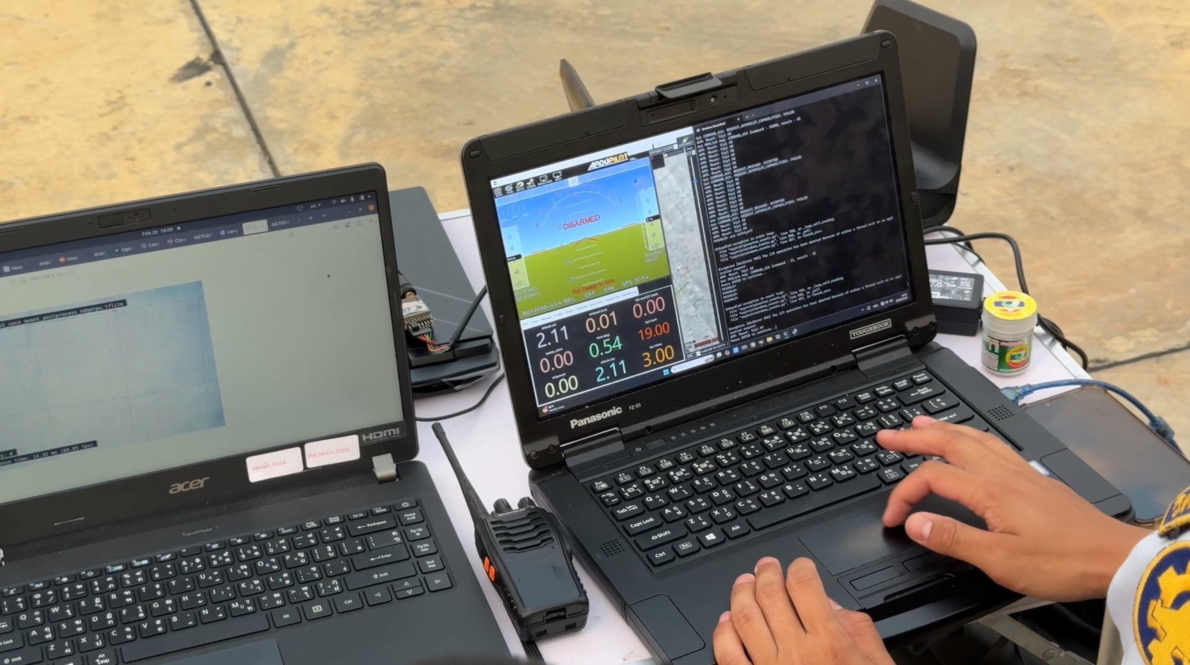
This mapping solution is built around an efficient, pre-planned flight path to enhance data collection. The mission is divided into well-structured phases, including a scheduled mid-flight landing that allows for payload installation and retrieval of flight logs and SD cards for early data analysis. Accurate image geotagging is performed in Mission Planner by applying a time offset, aligning captured images with GPS data. The subsequent photogrammetry process, carried out in Agisoft Metashape, generates a Digital Elevation Model and an organized image set, leading to the production of a georeferenced orthomosaic. Onboard automation and carefully tuned image overlap settings allow the aircraft to carry out the mission efficiently—balancing speed, coverage, and energy usage to achieve mapping goals without unnecessary flight time.